Jamaican Map
Discover St. Elizabeth!
If you're not careful, this Jamaican map will compel you to jump into St. Elizabeth right away. And why shouldn't you? It's a great place.
Use the map to get an idea of the lay of the land, and see where points of interest are in relation to each other. You can use the + and - buttons in the top left hand corner to zoom in and out. When you zoom in close enough, you'll see that more details, such as minor roads, are shown.
The arrows buttons enable you to move left, right, up and down.
You can switch to satellite pictures by clicking on the Sat button in the top right corner. This is fun when you zoom in - you can see so many details like buildings and even vehicles on the road.
This St. Elizabeth, Jamaica map is part of a larger, less detailed map of Jamaica, which you can see if you zoom out, or move around via the arrow buttons.
I hope you have fun as you take a virtual tour of this fantastic parish, affectionately called St. Bess.
Here are some links which will give you more information on some of the places highlighted on the map.
- Accompong
- Black River
- Fonthill, Lover's Leap
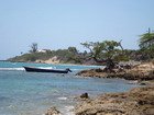
- Galleon Beach
- Pelican Bar
- Treasure Beach
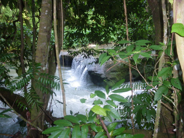
- YS Falls
- Wallywash Pond
Return from Jamaican Map to Real Jamaica Vacations


Pages We Love

Black River
Black River History
Black River in pictures
Accompong Maroons
Maggotty Falls
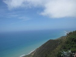
Lovers' Leap, Bamboo Avenue
Treasure Beach
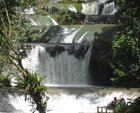
YS Falls